A practical look at what buyers, owners and agents can learn from a current aerial report before committing time or money.
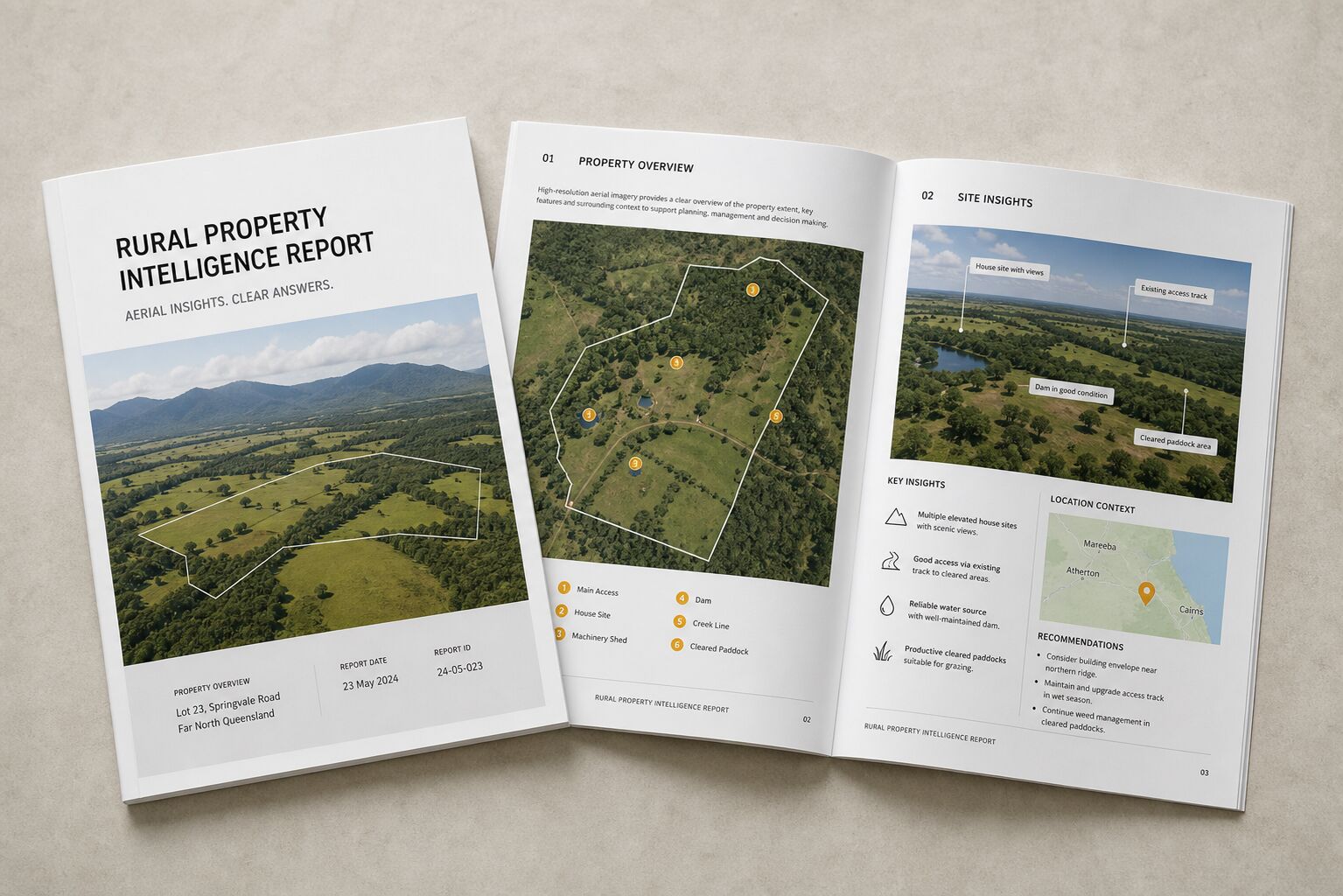

A practical look at what buyers, owners and agents can learn from a current aerial report before committing time or money.
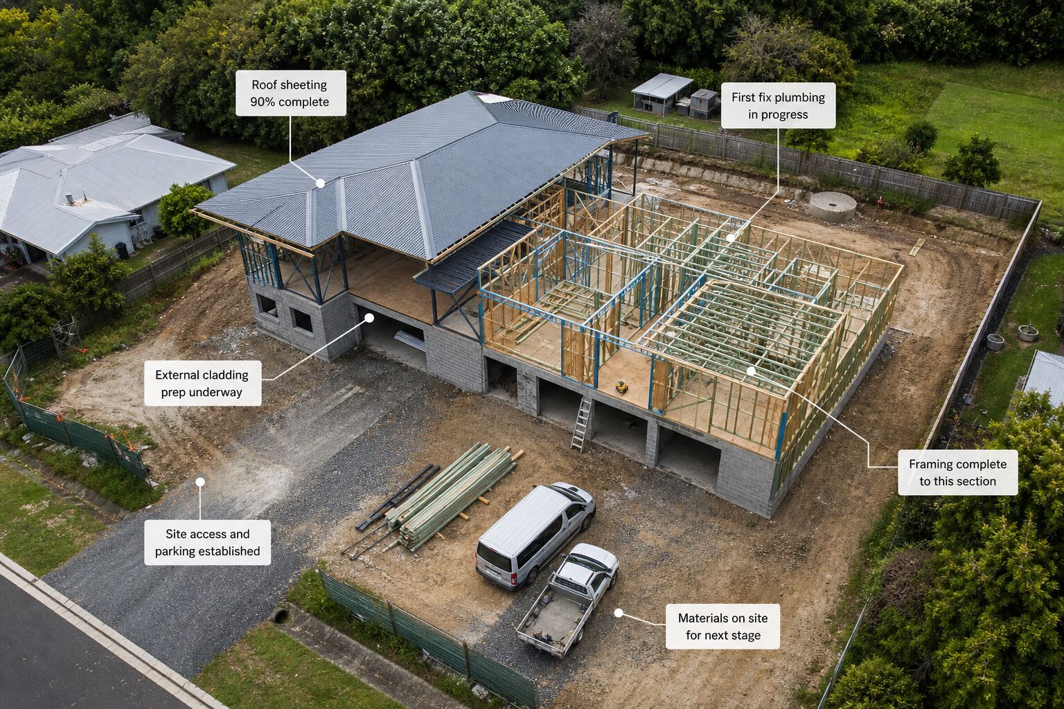
Progress imagery is not just for marketing. Used properly, it becomes a simple site record that saves time and arguments later.
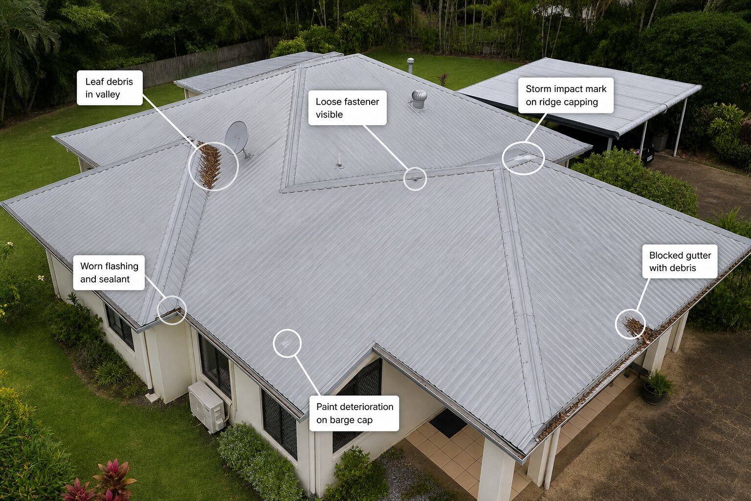
For many properties, a drone inspection is the safest and fastest way to gather clear roof imagery before repairs or further assessment.
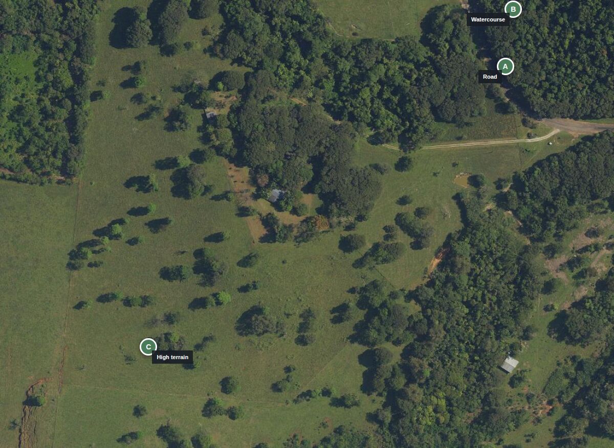
Photography shows a site. Mapping creates a spatial dataset you can reuse, annotate and compare.
An orthomosaic is a geometrically processed aerial image assembled from many overlapping photographs.