
An orthomosaic is a geometrically processed aerial image assembled from many overlapping photographs, producing a consistent top-down site view that can be mapped, annotated and used as the visual base for other spatial outputs.
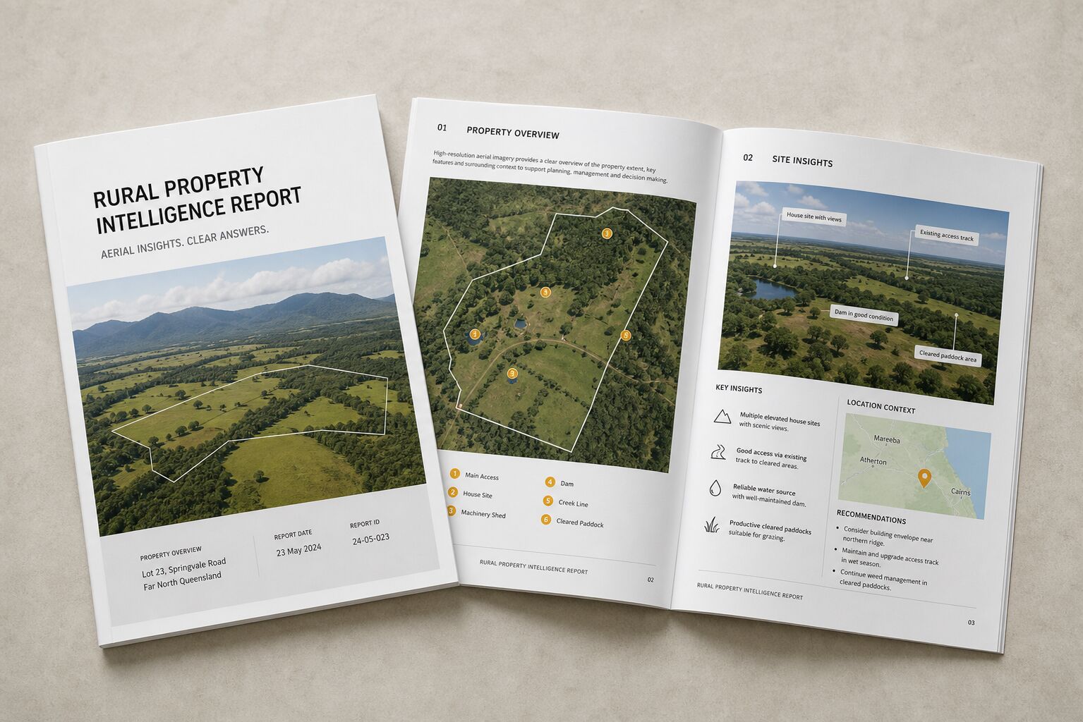
They are useful for rural property overview, development sites, earthworks documentation, construction progress, access planning and before/after comparison.
They are not automatically survey-grade. Accuracy depends on the full workflow, site conditions and the specific deliverable.