Loading...

Cairns Drone Services

Drone Mapping and Site Intelligence for Cairns and FNQ
Drone Mapping Aerial Inspections Rural Property Reports Construction Progress Imaging GIS and Survey Support

Request a Quote

QBCC Site Supervisor | Certificate IV Building & Construction | Drone Mapping | QGIS & Spatial Data | Cairns & FNQ

More than drone photos

Cairns Drone Services is built around practical site information, not just nice aerial images.

With formal building and construction training, QBCC Site Supervisor licensing, GIS mapping experience and drone imagery workflows, we create reports that help people understand land, buildings and projects more clearly.

Whether you are buying rural property, managing a build, documenting earthworks or checking a roof, the goal is simple: turn aerial imagery and mapping data into information you can actually use.

Drone Mapping and Aerial Reporting Services

Cairns Drone Services provides practical drone and GIS reporting services for properties, building sites, rural land, earthworks projects and aerial inspections across Cairns and Far North Queensland.

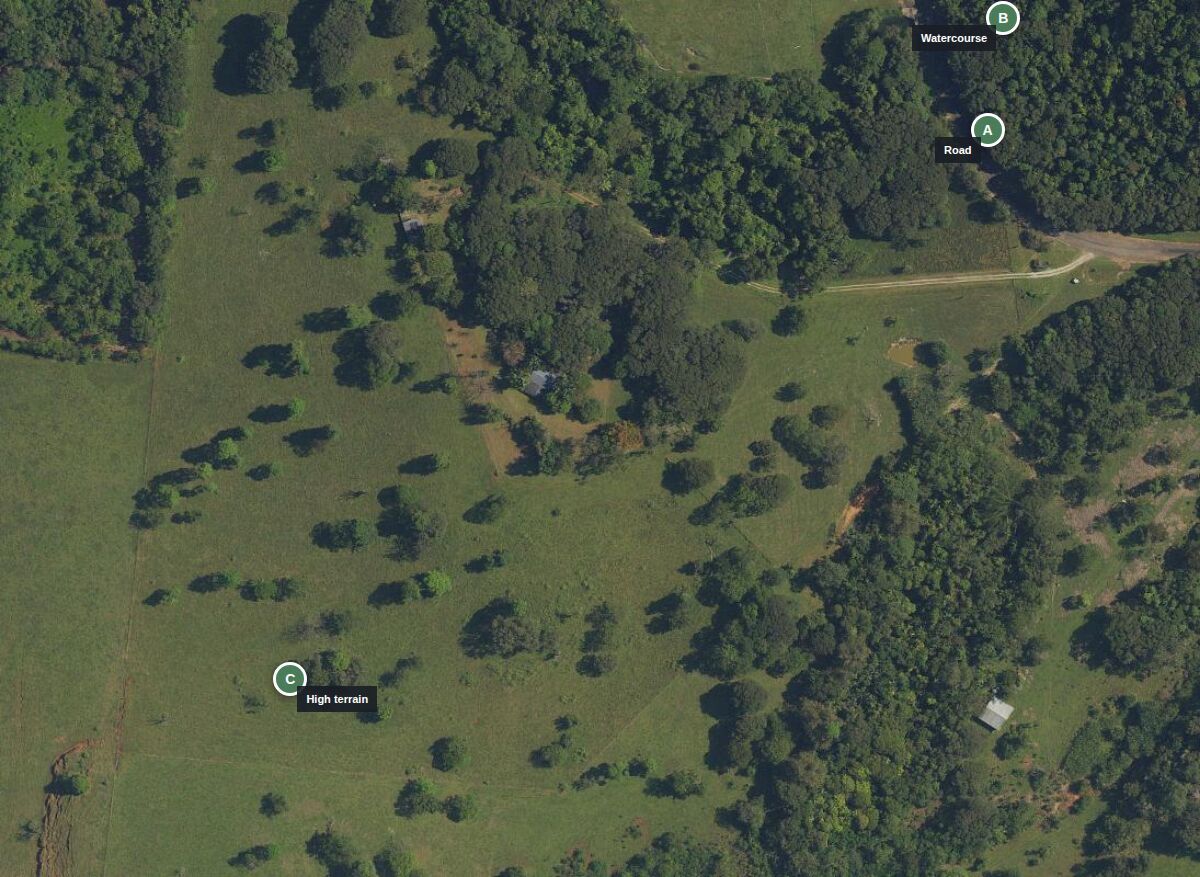
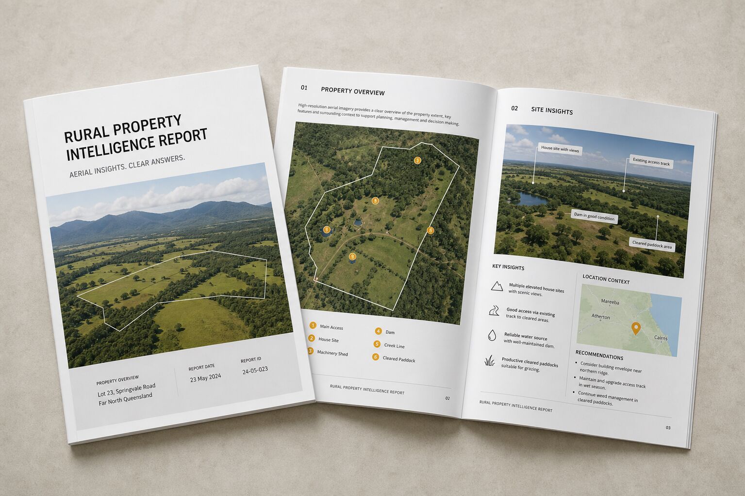
Rural Property Intelligence Reports

For farms, acreage, rural buyers, agents and property owners who want a clearer understanding of land, access, terrain and visible site features.

Construction Progress Mapping

For builders, owner-builders and developers who need clean visual records of site progress over time.

Drone Mapping and Orthomosaics

For sites that need a clear aerial map, current imagery, layout reference or map-ready visual output.

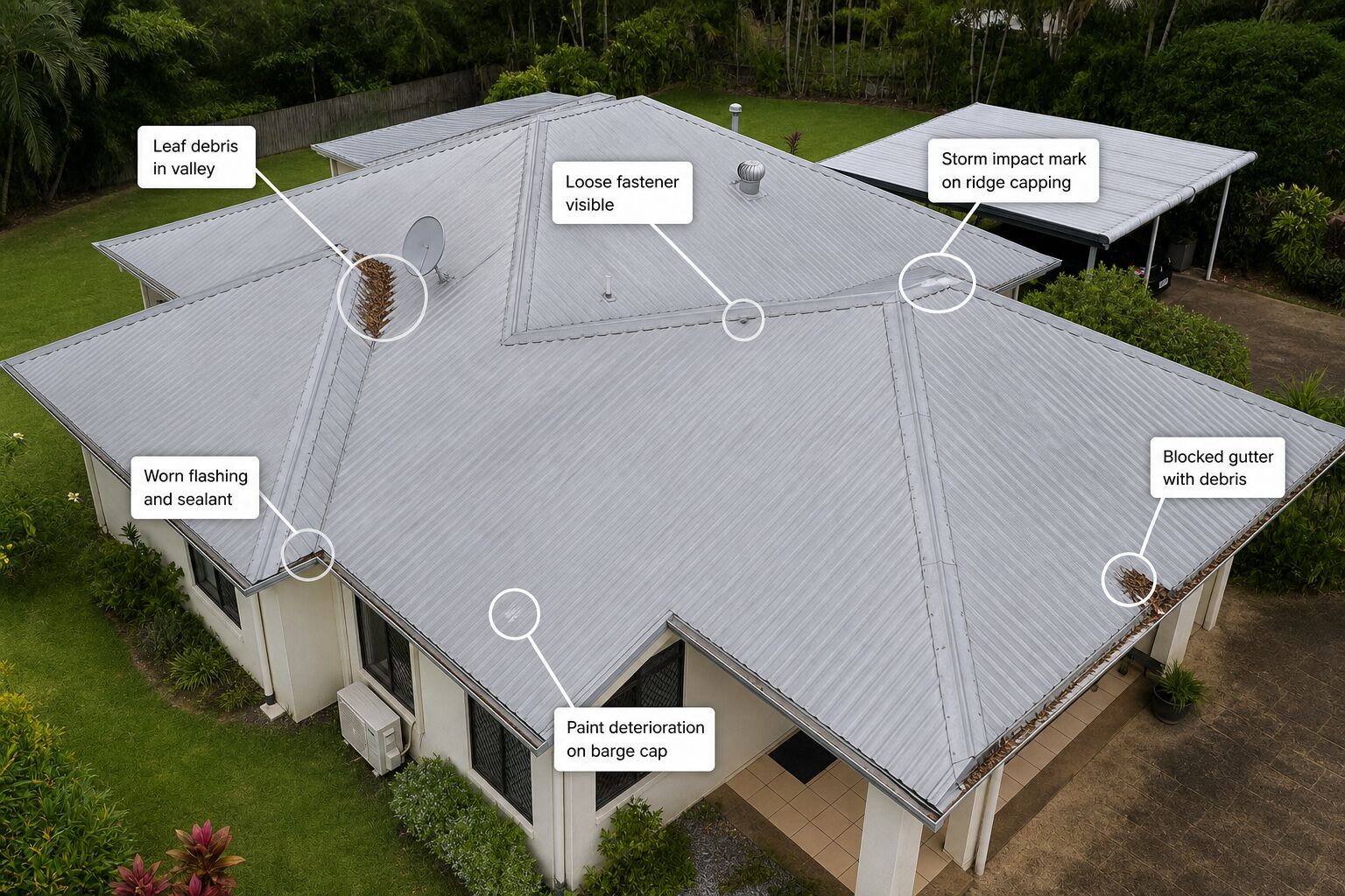
Roof and Building Inspections

For roofers, builders, repair contractors, property owners and insurance-related documentation.

Earthworks and Stockpile Reports

For earthmoving, landscaping, civil works, rural projects and site preparation.

GIS Map Packs

For property owners, buyers, agents and consultants who need clean maps using Queensland spatial data and custom annotations.

Aerial Photography and Video

For listings, websites, tourism, construction updates and promotional use that needs clean drone photos and short video clips.

Surveyor Support

For surveyors, consultants and project teams needing aerial imagery, GIS prep, field documentation or reporting support.

Built for people who need more than a nice aerial photo

Cairns Drone Services works with rural property owners, buyers, builders, owner-builders, roofers, earthmoving contractors, agents, surveyors and consultants.

Property, site and project clarity

Whether you need to understand a farm, document a building site, inspect a roof, map a stockpile or create a clear property report, the goal is the same: make the site easier to understand.

Mapping and site intelligence, not legal boundary surveying

Cairns Drone Services provides drone imagery, mapping, visual inspections and site reporting. We do not provide cadastral boundary surveys, legal boundary certification, engineering certification, building certification or planning approval.

Construction knowledge behind the camera

A drone can capture the image, but site knowledge gives the image meaning.

Cairns Drone Services brings together aerial imagery, QGIS mapping, Queensland spatial data and construction-site knowledge to create practical reports for real-world decisions.

That means we are looking at more than angles and lighting. We are looking at access, terrain, site conditions, visible risks, layout, progress, drainage, materials, structures and the practical context around the job.

Need a clearer view of a property or site?

Send through the location, what you need to understand and any deadlines. We can recommend the simplest useful option.

Request a Quote

Need a clearer view of a property or site?

Send through the location, what you need to understand and any deadlines. We will let you know what type of report or drone capture makes sense.

Request a Quote

Send through the location and what you need to understand. We will recommend the simplest useful option and let you know what is possible.

Best enquiries

Property context, site records, progress capture, roof imagery, mapping outputs and practical reporting questions.

Helpful details

Location, what you need to understand, timeframe, access notes, known hazards and whether people or machinery will be on site.

What happens next

We review the job, confirm what is practical and recommend the simplest useful option before anything moves ahead.

Cairns Drone Services field operations