
Drone photography is primarily visual. It is useful for listings, updates and showing a site from the air.
Drone mapping uses planned overlapping imagery and processing to create consistent spatial outputs such as orthomosaics, 3D models and terrain products. The result can be reviewed, measured, annotated, compared and reused.
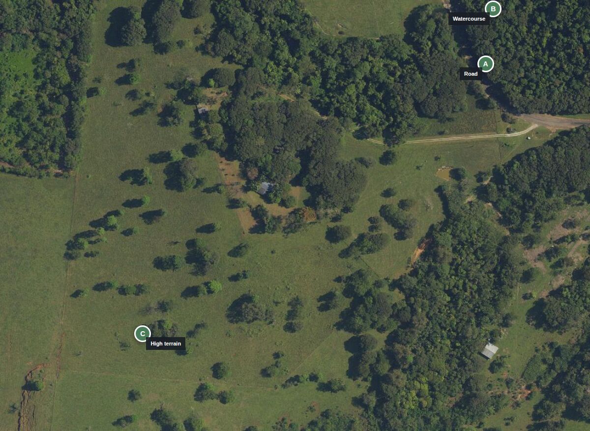
If the job is to understand a property, document a worksite or create a repeatable record, mapping is usually the more useful purchase. Photography can still be added where a visual still or video helps communication.
Cairns Drone Services is not a cadastral surveying practice. Mapping supports decisions and documentation. Legal boundary work remains the role of a registered cadastral surveyor.