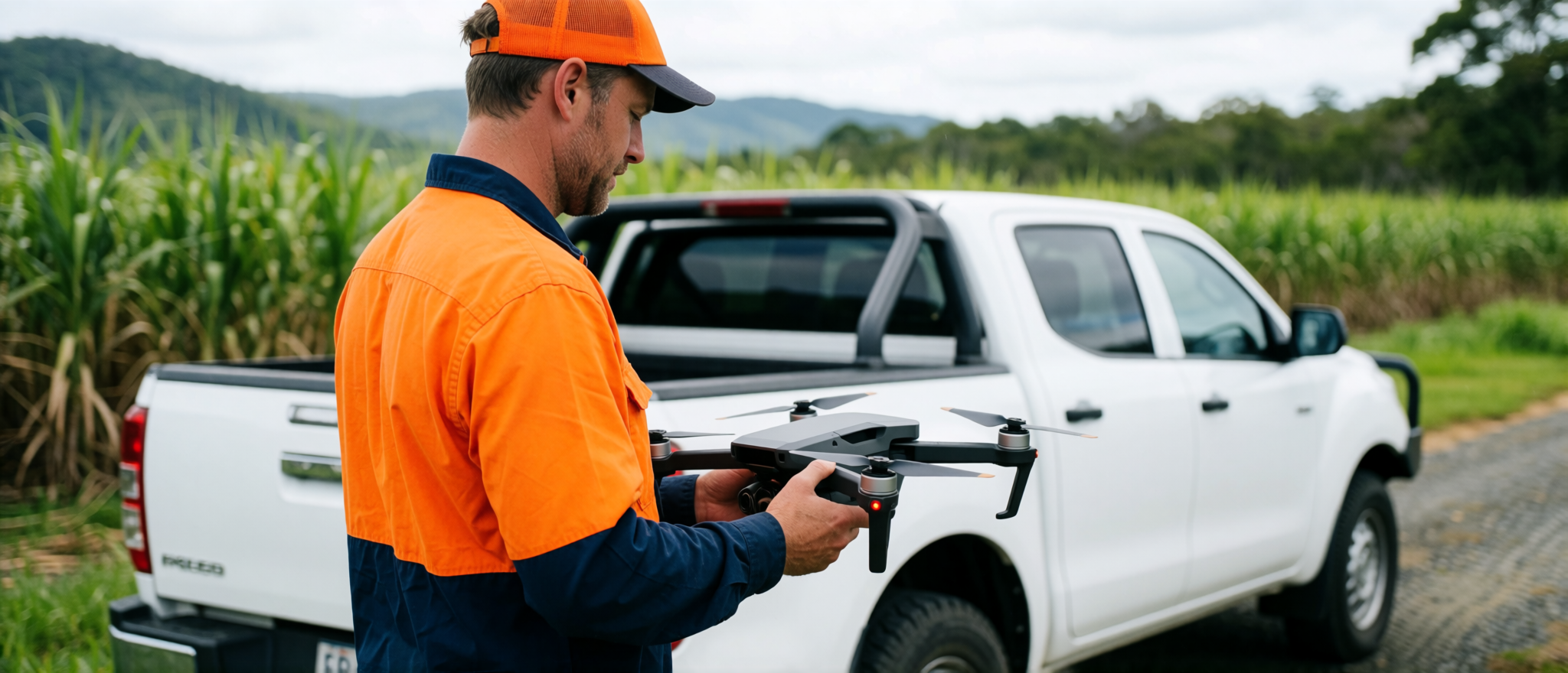
Cairns Drone Services can provide drone capture, site imagery, mapping, GIS preparation and report support for surveyors, engineers, planners, builders and other registered professionals.
The service can be scoped around the professional’s required workflow and deliverable format.
Possible support includes
- Aerial imagery capture and repeatable site photography
- Orthomosaic mapping and GIS layer preparation
- QGIS project preparation and map plate production
- Site documentation and historical imagery research
- Report production support
Important scope note
Cairns Drone Services does not represent support outputs as certified survey, engineering or planning deliverables unless issued or approved by the relevant registered professional.
Professional support is quoted according to project scope, travel, equipment, outputs and required workflow.