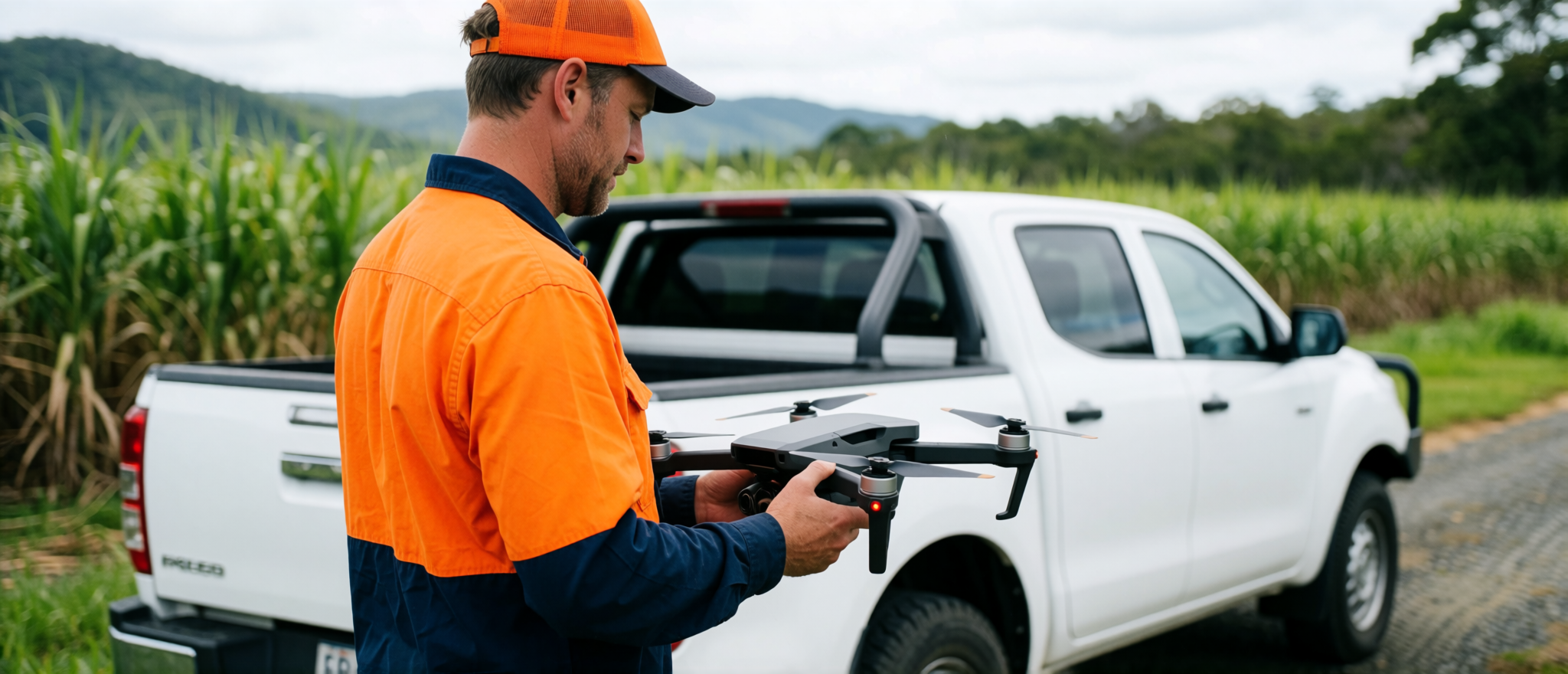
Buying, managing or improving rural land is easier when you can actually see what is going on.
Cairns Drone Services creates practical rural property reports using drone imagery, GIS mapping, Queensland spatial data and on-site observations.
These reports are useful for farm owners, acreage buyers, agents, families, contractors and anyone trying to understand a property before making decisions.
Property reports with practical context
These reports combine drone imagery, GIS mapping, Queensland spatial data and practical site knowledge to identify and communicate visible features such as access tracks, dams, sheds, cleared areas, steep ground, vegetation, drainage clues, fence lines, driveways and possible building or shed locations.
Understand the land before you commit time, money or machinery
A rural property listing can show you the pretty parts. A proper property intelligence report helps show the practical parts.
- access tracks and gates
- dams, creeks and water points
- usable cleared areas
- steep or difficult terrain
- visible erosion or drainage issues
- fence lines and paddock structure
- sheds, yards and infrastructure
- possible house, shed or camp areas
- vegetation and terrain constraints
- neighbouring access or boundary-adjacent features
- areas worth further investigation
This is not a replacement for legal, planning, engineering or cadastral advice. It is a practical visual and mapping report designed to help you ask better questions before you spend real money.
What is included in a Rural Property Intelligence Report
Drone image capture
Aerial photos of the property, access, structures, terrain, tracks and visible features.
Property overview map
A clean map showing the property layout, access points, roads, tracks, sheds, dams, visible features and key observations.
GIS map overlays
Selected public spatial data layers may be used to help show relevant property context, depending on the site and available data.
- lot and parcel reference
- roads and access
- contours/topography
- watercourses
- vegetation layers
- land-use context
- imagery history where available
- resource or constraint layers where relevant
Practical site observations
Plain-English notes on access, terrain, visibility, usability, construction access, possible concerns and areas worth further investigation.
PDF report
A clean report you can send to family, agents, contractors, builders, consultants or keep in your property file.
Best suited for
- Rural property buyers
- Farm owners
- Acreage blocks
- Lifestyle properties
- Family land planning
- Rural real estate listings
- Pre-purchase due diligence
- Access and infrastructure planning
- Shed, cabin or house site discussions
- Land improvement planning
Rural Property Report Pricing
Rural Mini Report
From $750 – Best for small acreage blocks or simple property overview.
Standard Rural Property Intelligence Report
From $1,250 – Best for buyers, owners and agents wanting a proper report.
Detailed Rural Property Report
From $2,500 – Best for larger or more complex properties.
Final pricing depends on property size, location, access, travel, required outputs and weather conditions.
Important scope note
Rural Property Intelligence Reports are visual, mapping and site-observation reports only. They are not cadastral surveys, legal boundary confirmations, engineering reports, planning approvals or building approvals.
Boundary and cadastral information shown in reports is indicative only and must be confirmed by a registered cadastral surveyor where required.