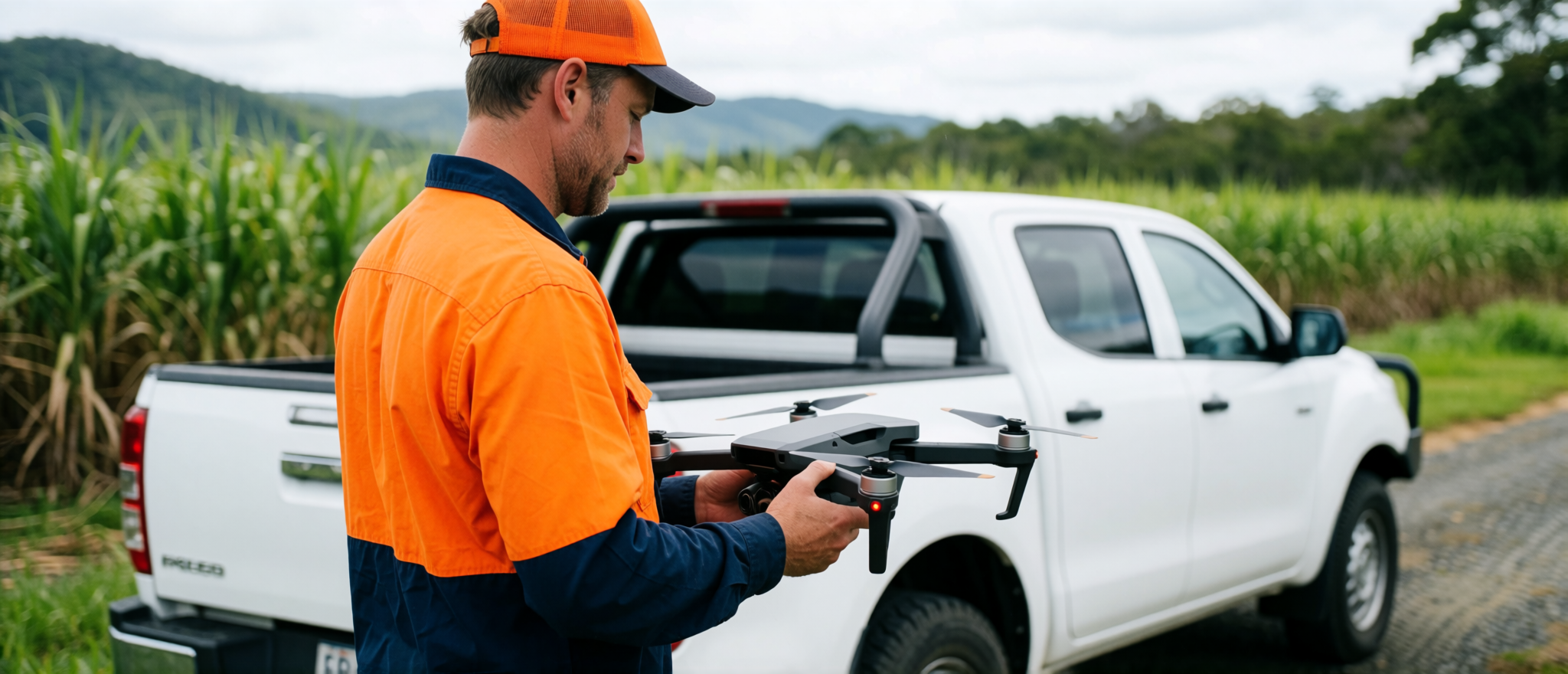
A good drone map gives you a current, detailed view of a site that normal maps and satellite imagery often cannot.
Cairns Drone Services creates aerial map outputs for properties, construction sites, rural land, earthworks areas and project documentation.
Maps that actually help
By combining drone imagery with QGIS mapping and practical site observations, we create clear visual outputs that help clients understand layout, access, terrain, features and change over time.
A current aerial map made from drone imagery
An orthomosaic is a high-resolution aerial map created by processing many overlapping drone images into one clear top-down image.
- property reports
- site plans
- construction progress
- access planning
- earthworks records
- feature mapping
- QGIS overlays
- visual comparisons over time
Available outputs
- Processed orthomosaic image
- PDF map export
- Annotated aerial map
- QGIS-ready files
- Basic site feature labels
- Before-and-after comparison
- Contours or terrain visualisation where suitable
- Image folder
- Map-based report
Accuracy and control
For survey, engineering, cadastral or certified accuracy requirements, the work should be scoped with the appropriate registered professional.
Drone Mapping Pricing
Basic Aerial Map: From $550
Standard Orthomosaic and Map Pack: From $950
Advanced Mapping Package: From $1,800