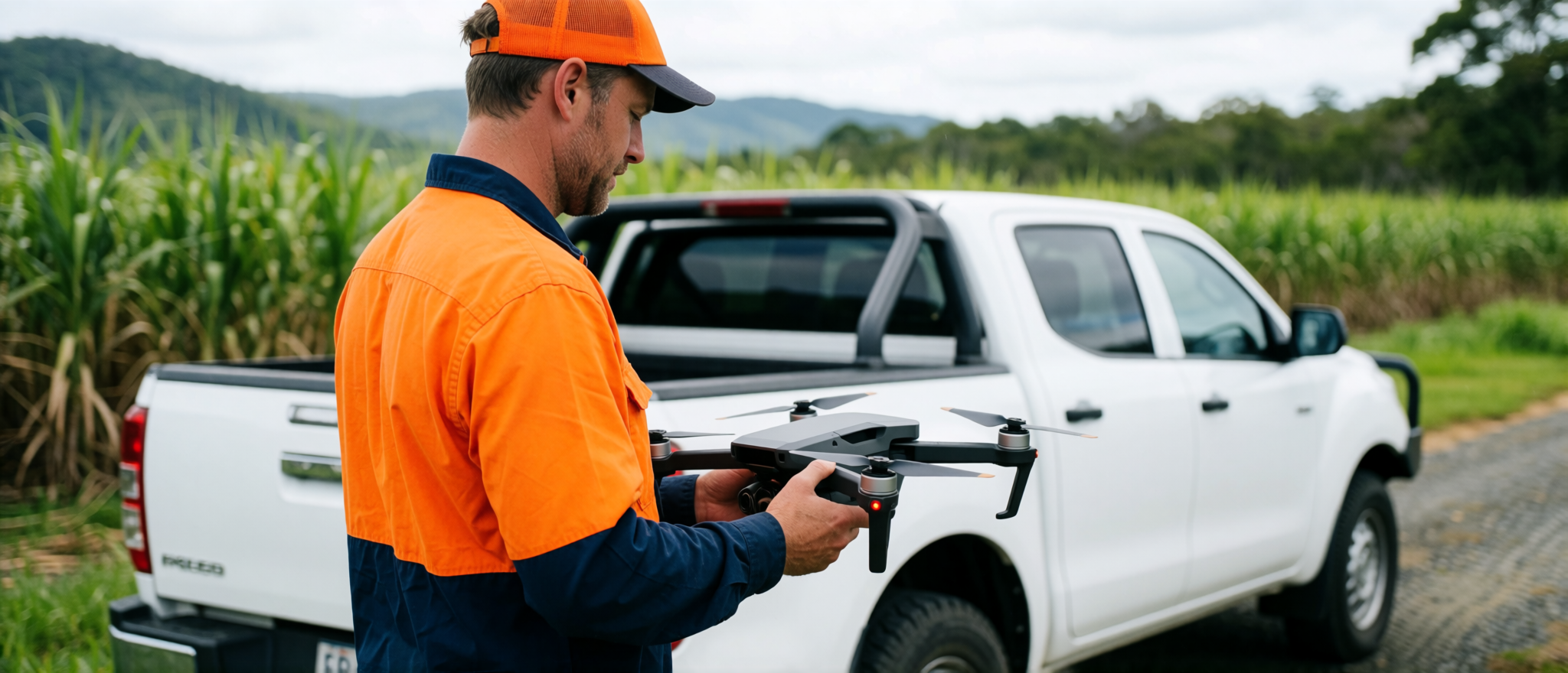
Different clients need different outputs. Some need clean aerial imagery. Some need a map pack. Some need a PDF report. Some need a practical visual record of what happened on site.
Cairns Drone Services creates drone imagery, mapping and reporting for the people who need to understand land, buildings and projects clearly.
Who this is useful for
Builders and Owner-Builders
Progress reports, site records, client updates, roof-stage imagery and practical site documentation.
View Construction MappingRural Property Owners
Maps, aerial imagery and property intelligence for farms, acreage and rural improvement planning.
View Rural ReportsLand Buyers
Pre-purchase visual reports to help understand access, terrain, usable land and visible site concerns.
View Property IntelligenceReal Estate Agents
Drone imagery, map packs and premium rural listing material that helps buyers understand the land.
View Aerial MediaEarthmoving Contractors
Before-and-after records, stockpile estimates, pad documentation and progress maps.
View Earthworks ReportsRoofers and Repair Contractors
Aerial roof imagery, storm damage photos, maintenance records and job documentation.
View Roof InspectionsSurveyors and Consultants
Aerial imagery, GIS support, report visuals and field documentation.
View Survey Support